Call Us: + 323-240-2303
Email Us: sbuiloff@builoff.com

If you’re looking for a professional licensed land and property surveyor in Malibu, those of us at builoff.com would be happy to help you out. We provide a wide range of services, such as 3D laser scanning, aerial mapping, topographic maps, and construction layout, among others.
Services
ALTA/NSPS Land Title Survey
Topographic Survey & Map (3D)
Boundary / Property Line Survey (Lot Line Survey)
Construction Staking / Site Layout (Construction Layout)
3D Laser Scanning / Scan-to-BIM
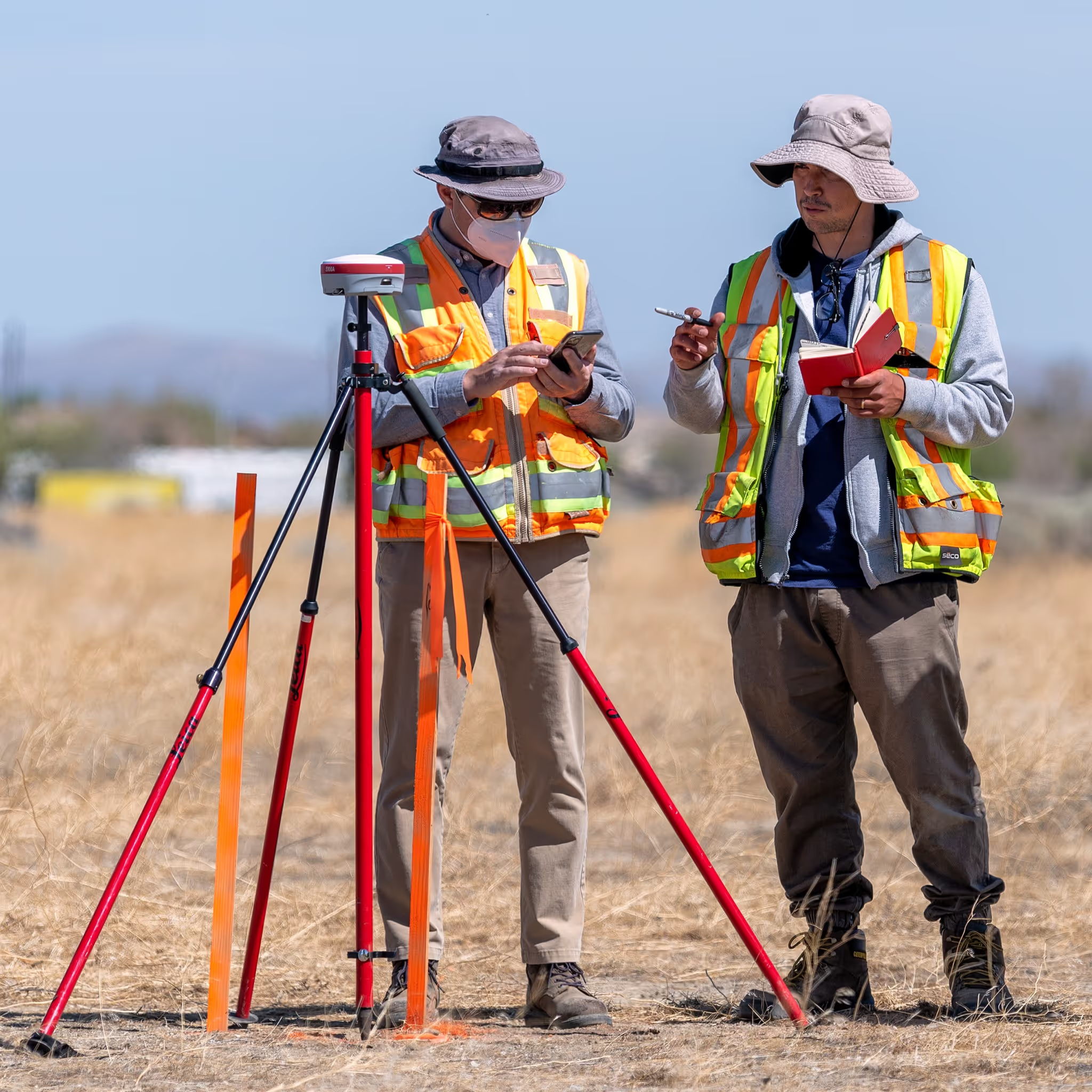
A property or land surveyor’s job is to determine the precise locations of property lines, buildings, and other points of interest. To do this, we use state of the art tools such as hyper-accurate GPS software as well as aerial drones and other equipment to determine the exact measurements of the land being surveyed.
The highly accurate information provided by builoff.com’s land and property services in Malibu can be used in several ways. They can help settle property disputes, let you know where to build new additions or improvements to your home, and warn you of any potential problems with a construction plan before you begin work.
For a more detailed breakdown of our quality services, read on:
3D laser scanning is one of the most efficient land survey methods available to potential customers at builoff.com. This technology allows us to complete a survey of land much faster and more safely than traditional survey methods. It works by sending out a laser and collecting point cloud data.
This allows surveyors to collect millions of 3D coordinates in just seconds and is highly effective for surveying areas that would otherwise be dangerous or difficult to reach for humans.
For example, these devices can be attached to things like drones or other vehicles to accelerate the survey process.
Using drones equipped with 3D laser scanning technology, the surveyors at builoff.com can provide an accurate view of the layout and topographic map of the area of Malibu that you need to be evaluated.
With the help of 3D laser scanning, aerial mapping, and topographic maps, builoff.com can determine and mark the layout of potential construction projects on your property. This allows you to see how much space your proposed building will actually take up and whether or not you need to rework your plans to avoid any potential zoning or ownership conflicts.
If you’d like to take advantage of our professional property and land surveying services, feel free to contact us to get an estimate or learn more.
We believe our services should exceed our customers’ expectations. By using modern technology and striving for constant improvement, we create real value in every project.
Los Angeles, Malibu, La Canada, Glendale, Pasadena, Pacific Palisades, Santa Monica, Topanga, Calabasas, Thousand Oaks