Call Us: + 323-240-2303
Email Us: sbuiloff@builoff.com

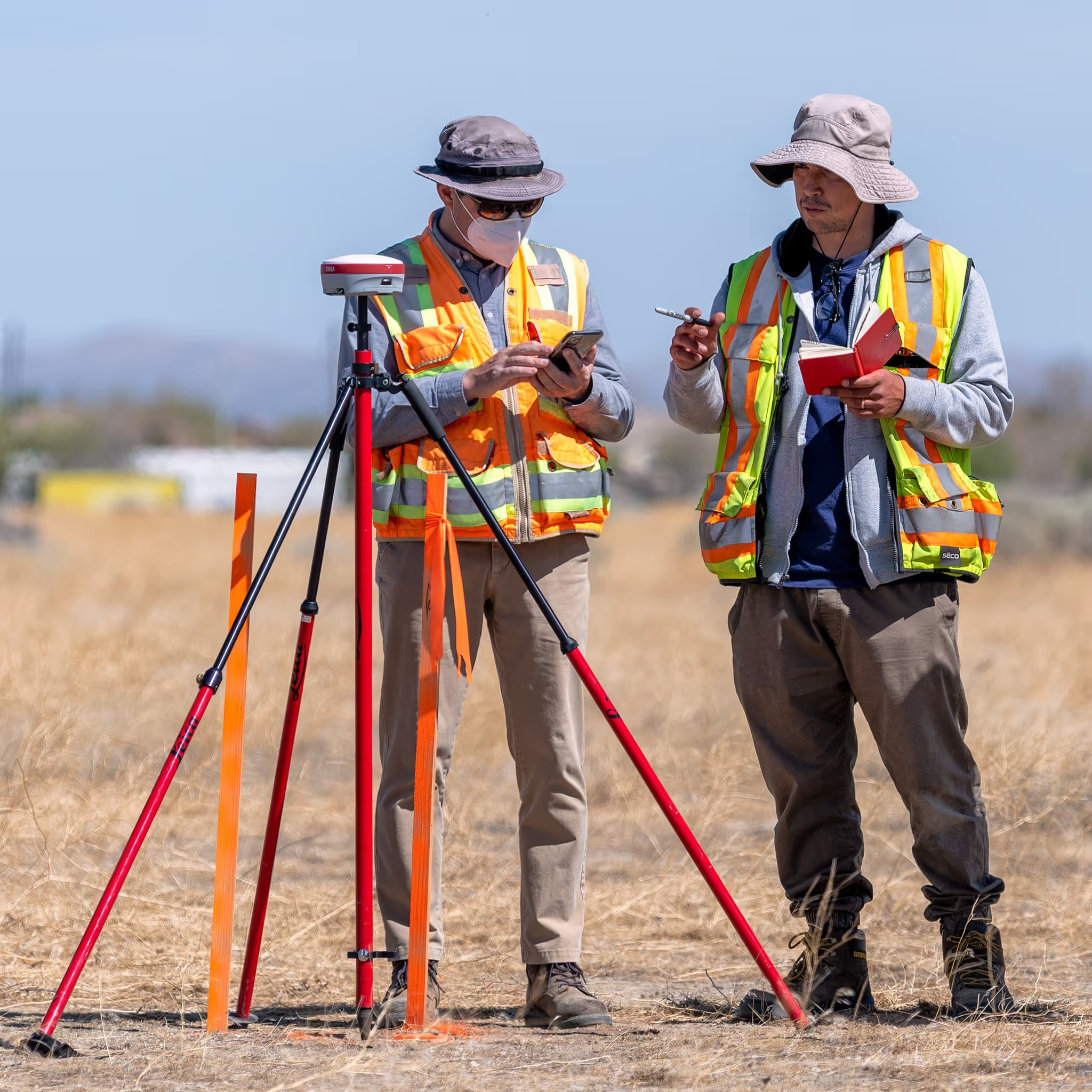
If you’re looking for a professional licensed land and property surveyor in Calabasas, those of us at builoff.com would be happy to help you out. We provide a wide range of services, such as 3D laser scanning, aerial mapping, topographic maps, and construction layout, among others.
Services
ALTA/NSPS Land Title Survey
Topographic Survey & Map (3D)
Boundary / Property Line Survey (Lot Line Survey)
Construction Staking / Site Layout (Construction Layout)
3D Laser Scanning / Scan-to-BIM
Our long-standing relationship to Calabasas and the surrounding areas can make us a perfect fit for any goals you may have with the development/research of your property. Working closely with real estate professionals, construction companies, lawyers, engineers, and others, we provide professional licensed land and property surveyor Calabasas services to meet any needs or budget.
Our land surveyor services are designed to give you a powerful peace of mind with your ongoing project. Through our comprehensive mapping services, we will create an understanding of the demands and particulars of your land. From construction layout Calabasas services, to 3D mapping and topographic mapping services, our company can address any land surveyor needs you may have.
The challenges of land surveyor work can come in a variety of forms. Builoff utilizes the best technology and professionals to help address your needs, regardless of what they might entail.
Our aerial mapping Calabasas services, for example, can provide you with critical information on plant health, and other subjects that can be of crucial interest under certain circumstances. You may need to have a clear idea of not only the land, but in terms of any potential legal consequences to making changes to this land. Our information ensures you can make the right decision for your personal or professional interests.
Our 3D laser scanning Calabasas services offer another example of how our understanding of the technology that defines our industry can be shaped to meet the highly specific needs of our client. Our data and research gives you the ability to make decisions that can shape the results you are aspiring to achieve. Understand exactly what’s in front of you with powerful 3D models.
For topographic map Calabasas services, understand that we have worked with clients throughout not only Calabasas, but throughout Southern California, as well. GPS site localizations, construction staking, and other demands are all things that can take advantage of our ability to bring the information you need in the most straightforward and deep fashion possible.
Contact us today to learn more about what we can do for you. Design survey maps, plot plans, and slope-analysis maps are a few of the ways we can show you exactly what you have. The peace of mind that comes with this kind of insight into your property can be applied in any number of ways. Take advantage of our vast array of community resources and connections to find out more.
We believe our services should exceed our customers’ expectations. By using modern technology and striving for constant improvement, we create real value in every project.
Los Angeles, Malibu, La Canada, Glendale, Pasadena, Pacific Palisades, Santa Monica, Topanga, Calabasas, Thousand Oaks