
Service
Residential
Boundary, topo, plot plans, and construction staking for homeowners, ADUs, and additions.

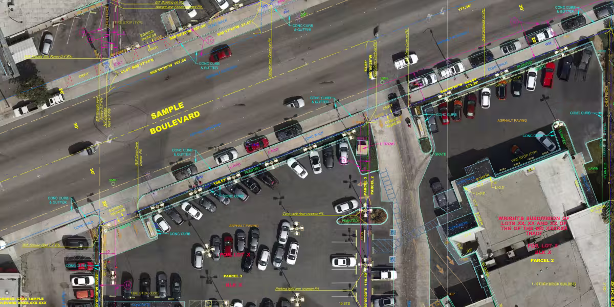
Commercial
ALTA/NSPS, design topo, construction staking, and Scan-to-BIM for developers and design teams.

Public Works
Engineering surveys, ROW mapping, control, and construction layout for cities and agencies.

Why Property Owners and Project
Speed of delivery
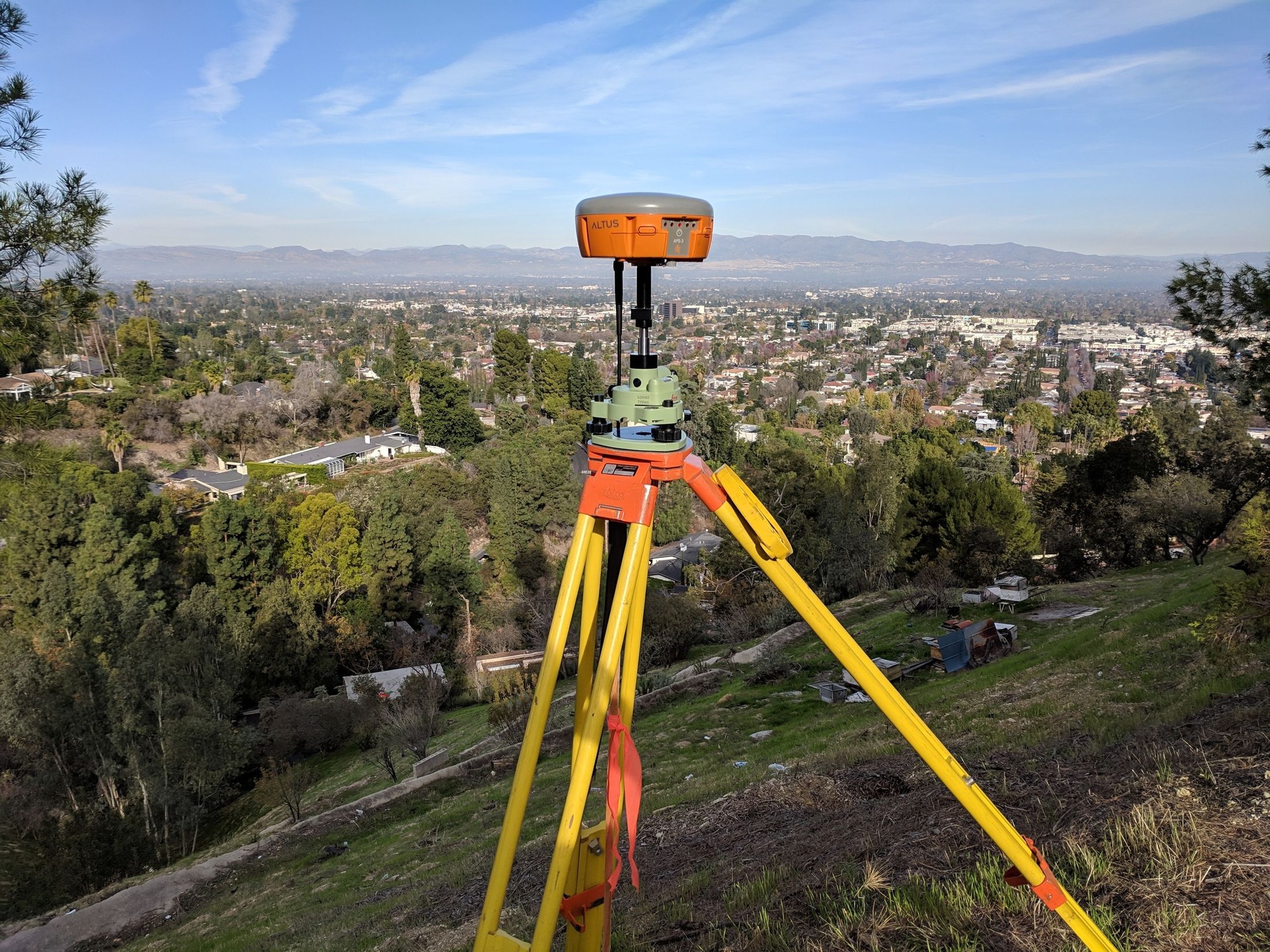
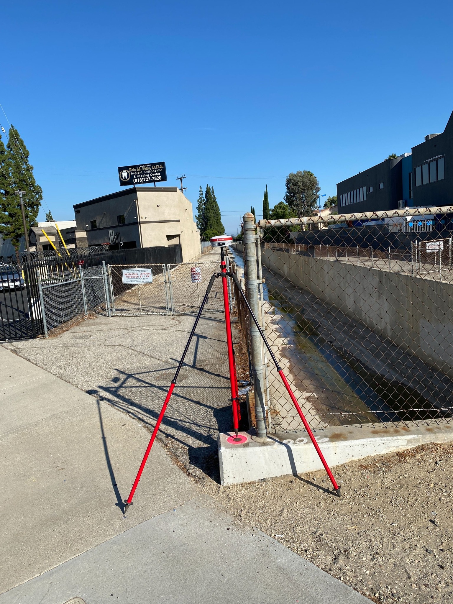
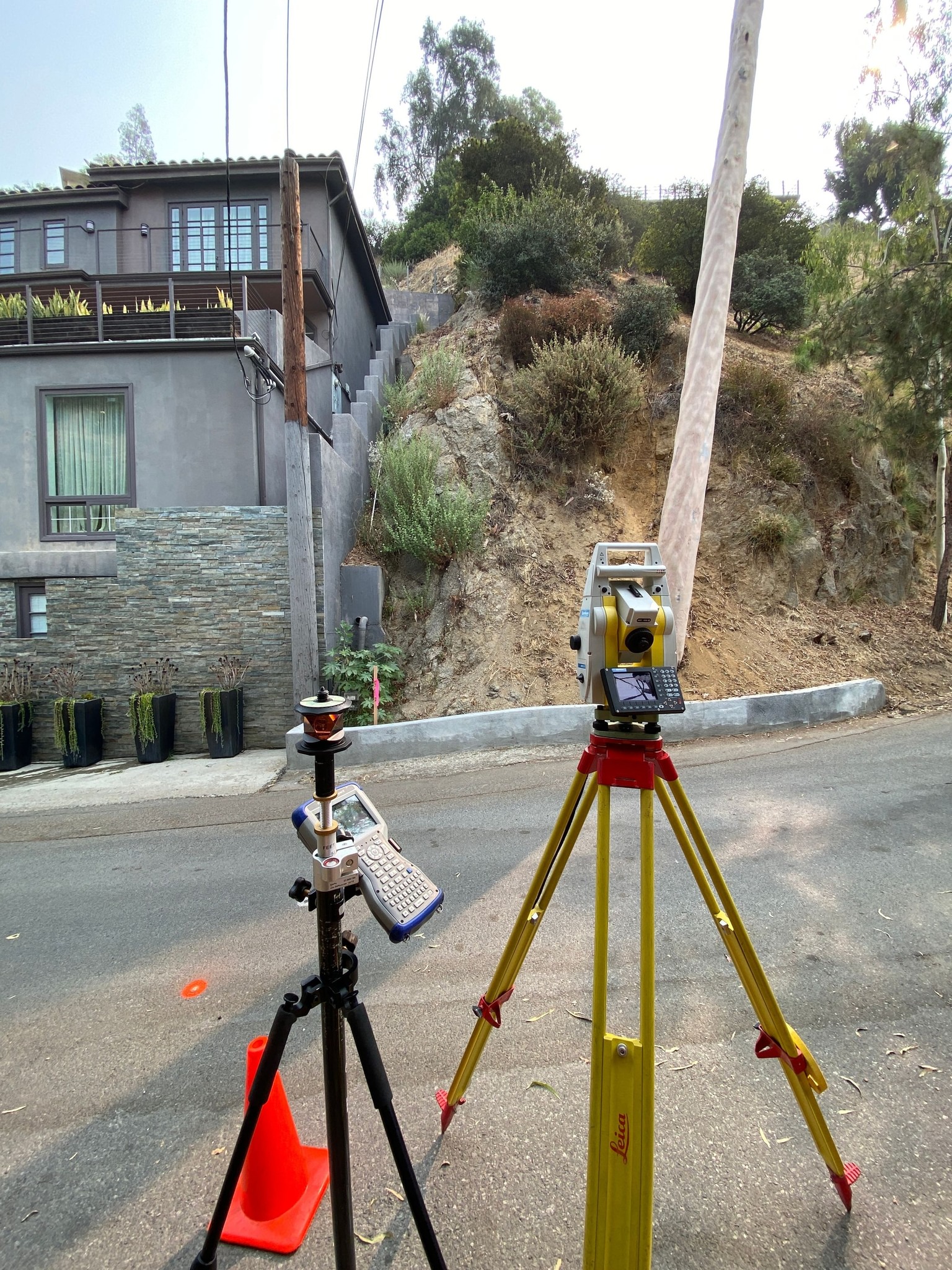
Modern equipment
Local expertise
Direct access to
a licensed PLS
Our Featured

faq
Customers frequently ask
WHY DOES IT TAKE 24–48 HOURS TO PROVIDE AN ACCURATE SURVEY ESTIMATE?
WHY IS MY SURVEY MORE EXPENSIVE THAN MY NEIGHBOR’S SURVEY?
HOW LONG DOES A BOUNDARY SURVEY TAKE, AND WHAT AFFECTS TURNAROUND TIME?
WHAT TYPE OF SURVEY DO I NEED FOR AN ADU, ADDITION, OR NEW HOME DESIGN, AND WHAT DELIVERABLES WILL MY ARCHITECT/ENGINEER NEED?
Latest News From

Jun 6, 2026
How to Choose ALTA Table A Items: A Cost and Schedule GuideChoosing ALTA/NSPS Table A items affects your survey cost, schedule, and what you need to provide. A practical guide for buyers, lenders, attorneys, and developers.

by Sergei Builoff, MSc, PLS 8099
.avif)
Jun 6, 2026
What Is a Digital Orthophoto - And Why Does It Matter for Your Property?Learn what digital orthophotos are, how they differ from regular aerial photography, and why licensed land surveyors in Los Angeles and Ventura County use them to create more accurate, user-friendly mapping products.
by Sergei Builoff, MSc, PLS 8099
Jun 6, 2026
2026 ALTA/NSPS Standards: What Changed from 2021The 2026 ALTA/NSPS Land Title Survey Standards replaced the 2021 edition on February 23, 2026. Key changes include a restructured Table A expanding from 19 to 20 standard items, a new mandatory encroachment summary table (Item 20), updated imagery rules, and clarified language throughout. Whether you are a developer, title officer, real estate attorney, or land surveyor, understanding these changes ensures your next ALTA survey meets current requirements.
by Sergei Builoff, MSc, PLS 8099